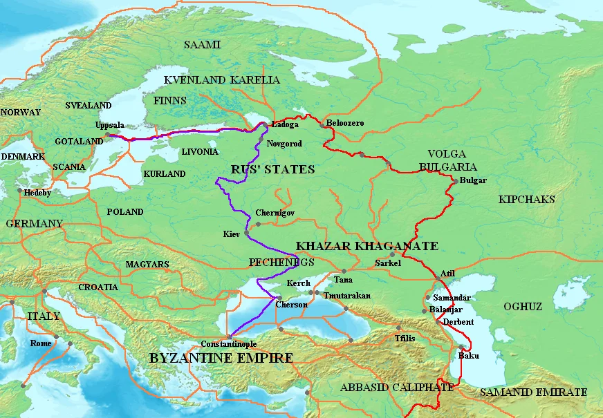
The Vikings' trade routes to the East followed two great river systems. The Volga route led from Lake Ladoga to the markets of Volga Bulgaria and the Khazar capital Itil on the Caspian Sea, and from there into the Islamic world. The Dnieper route, which the Primary Chronicle calls the road "from the Varangians to the Greeks", ran past Kyiv and a chain of rapids to the Black Sea and Constantinople.
Furs, slaves, wax and honey went south; silver coins, silk and glass beads came north. The traffic began around AD 800 and faded when the flow of Islamic silver stopped in the early eleventh century. This article follows the journey itself: the rapids, the portages, the tolls and the goods.
What were the Viking trade routes to the East?
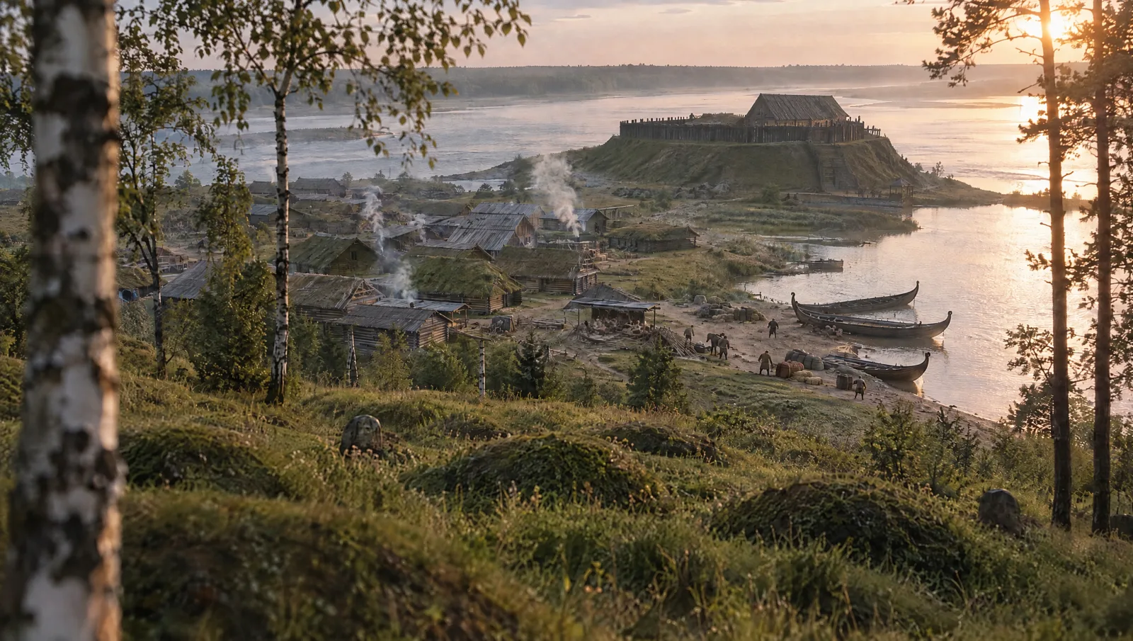
Scandinavians, most of them from what is now eastern Sweden, entered the rivers of Eastern Europe through the Gulf of Finland and Lake Ladoga. Staraya Ladoga on the Volkhov, one of the earliest Viking settlements in the East, was their gateway from the mid-eighth century. From there two roads opened up, one east to the Volga and one south to the Dnieper. Neither was a single road. Each was a bundle of rivers, lakes and overland stretches, and travellers used whichever links the season and the water level allowed.
| Volga route | Dnieper route | |
|---|---|---|
| Northern start | Lake Ladoga, probably by Lake Onega and Beloozero to the upper Volga | Lake Ladoga, the Volkhov, Lake Ilmen and the Lovat, then overland to the Dnieper |
| Main markets | Bulgar in Volga Bulgaria; Itil, capital of the Khazars | Kyiv, then Constantinople |
| Far end | The Caspian and the Islamic world, occasionally Baghdad | Constantinople |
| Tolls | A tenth of the goods to the Khazar ruler | A tenth to the Byzantine ruler, says Ibn Khurradadhbih; duty-free terms in the treaty dated AD 907 |
| Busiest | c. AD 800–875 and c. AD 900–980, judging by silver imports | Documented from the AD 860s; best described c. AD 950 |
| Key written sources | Ibn Khurradadhbih, Ibn Rustah, Ibn Fadlan | Constantine VII, De administrando imperio; the Rus'–Byzantine treaties |
The two routes worked together rather than competing. The Volga carried the first big wave of Islamic silver, from about AD 800. The road to Byzantium is clearly documented from the Rus' attack on Constantinople in AD 860 and is described in detail around AD 950. By then both were busy at once, and Novgorod, Smolensk and Kyiv sat on the links between them.
The Volga route: furs and captives for silver
Between Lake Ladoga and the Volga the exact line of the route is hard to pin down. The Swedish archaeologist Rune Edberg thinks it most likely ran from Ladoga by Lake Onega and Beloozero to the upper Volga. Canals and reservoirs built in the twentieth century have transformed these waterways completely, so the old route can no longer be followed on the water.
In the first phase of the trade, from about AD 800 to 875, dirhams (Islamic silver coins) minted in Iraq and northern Iran came north through the Khazar Khaganate, according to the Oxford historian Marek Jankowiak. Around AD 910 the main meeting place of Scandinavian and Muslim merchants moved upriver to Bulgar, where the Kama joins the Volga, in Volga Bulgaria. Jankowiak thinks the move probably followed a massacre of Rus' by the Khazars' Muslim mercenaries, which the historian al-Mas'udi describes. Our articles on Volga Bulgaria and on Ibn Fadlan's eyewitness account describe the market at Bulgar.
Did the Vikings reach Baghdad?
Some did, at least occasionally. Ibn Khurradadhbih, head of the postal and intelligence service of the Abbasid Caliphate, describes the routes of the Rus' merchants in his Book of Roads and Kingdoms. In Paul Lunde and Caroline Stone's translation, they bring "beaver and black fox pelts, as well as swords" from the far north and pay "a ten per cent duty" to the Byzantine ruler on one route and to the Khazar ruler on the other. Then they cross the Caspian: "Sometimes they transport their merchandise on camel back from the city of Jurjan to Baghdad. There, Slavic-speaking eunuchs interpret for them." Jurjan lay near the south-eastern corner of the Caspian, in today's northern Iran.
The report needs two cautions. Ibn Khurradadhbih wrote between AD 846 and 885, and Lunde and Stone think this passage may go back to the first decades of the ninth century, so it describes the trade's first wave. They also note that it reads like an intelligence report rather than an eyewitness account, and "sometimes" is the operative word. Our glossary entry on the Rus' sets this report beside the other Arabic and Byzantine evidence.
The Dnieper route: "from the Varangians to the Greeks"
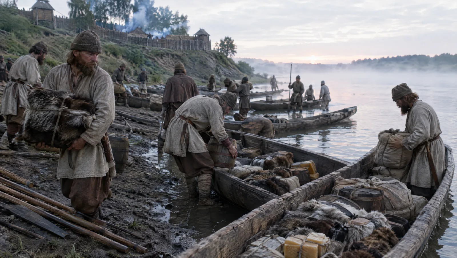
The best description of the southern road comes from the Byzantine emperor Constantine VII Porphyrogenitus, whose handbook De administrando imperio was compiled around AD 948–952. Chapter 9 follows a Rus' convoy stage by stage. In R. J. H. Jenkins's translation, the boats came from Novgorod, Smolensk, Liubech, Chernihiv and Vyshhorod and collected at Kyiv. They were monoxyla, hulls hollowed from single tree trunks, cut by Slav tributaries in winter (the winter tribute round behind this cycle is described in our article on Igor of Kiev). In June the fleet moved off and gathered for two or three days at Vitichev, downstream from Kyiv, before going down the river together.
The seven Dnieper rapids
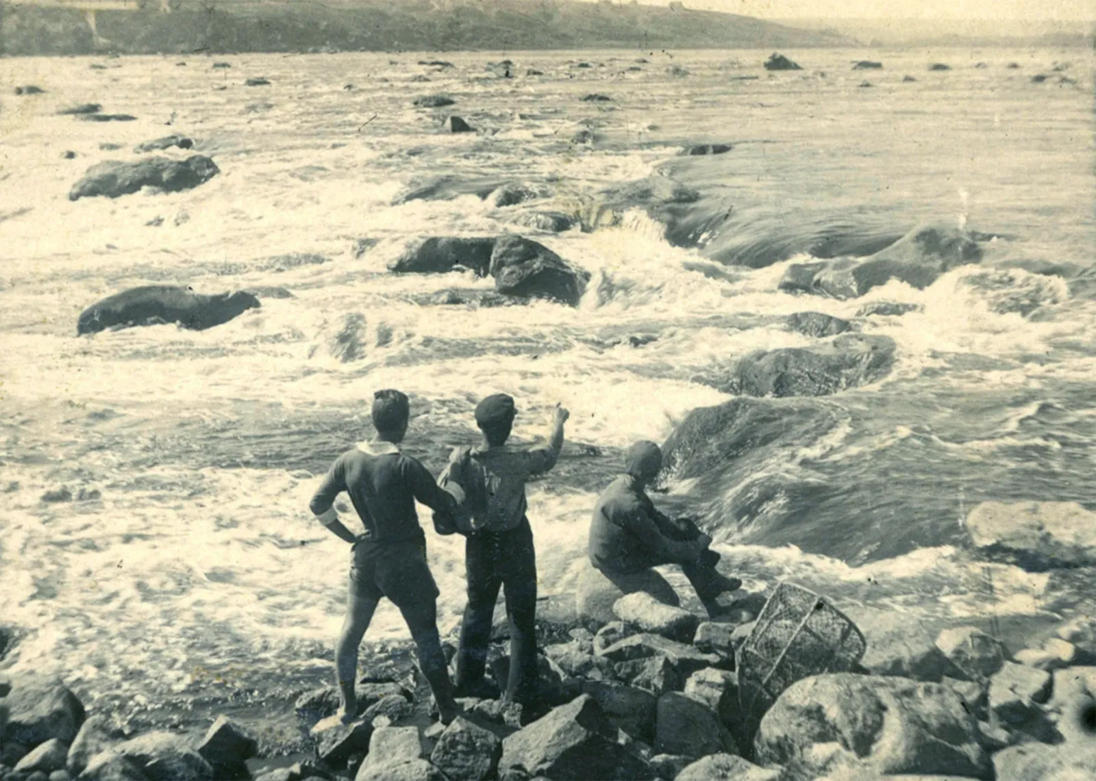
Below modern Dnipro the river crossed the hard rock of the Ukrainian Shield. According to the Encyclopedia of Ukraine, nine rapids lay within a stretch of about 70 km, where the riverbed fell 35.5 metres and the current reached 6 metres a second. Constantine counted seven "barrages" and gave most of them two names, one "in Russian" and one "in Slavonic". The "Russian" names are Old Norse, which makes this passage some of the best evidence for the language the Rus' boatmen spoke.
| # | "Russian" (Norse) name | Slavonic name | Constantine's explanation | What scholars think the name means | How the Rus' passed it |
|---|---|---|---|---|---|
| 1 | Essoupi | (same name given) | "Do not sleep!" | Probably Slavonic ne spi, "do not sleep"; some read "the ledges" | Men landed; others waded naked, feeling for rocks, and poled the boats along the bank |
| 2 | Oulvorsi | Ostrovouniprach | "the Island of the Barrage" | Both mean "islet rapid" (Norse holmfors) | Men landed again and the boats were taken past |
| 3 | Gelandri | (not given) | "Noise of the Barrage" | Norse gellandi, "the ringing one" | The same way |
| 4 | Aeifor | Neasit | "because the pelicans nest in the stones" | Slavonic "the insatiable"; the Norse name is disputed | Cargo unloaded, slaves led six miles by land, boats dragged and carried |
| 5 | Varouforos | Voulniprach | "because it forms a large lake" | Both probably "wave rapid" | Boats taken through at the edges of the river |
| 6 | Leanti | Veroutzi | "the Boiling of the Water" | Norse "the laughing one"; Slavonic "the boiling one" | The same way |
| 7 | Stroukoun | Naprezi | "Little Barrage" | Norse "the narrow, fast current" | Passed at the ford of Krarion, where the Pechenegs attacked |
The names and explanations come from chapter 9 in Jenkins's translation. The meanings follow Dimitri Obolensky's commentary on the chapter (1962), which records long disagreements over several of them.
Aeifor, the great rapid
The fourth rapid was the worst. Here, in Jenkins's translation, "all put into land prow foremost", and a picked guard went off to "keep vigilant watch for the Pechenegs", the Turkic nomads who held the steppe. The rest unloaded the cargo and "conduct the slaves in their chains past by land, six miles, until they are through the barrage". Then, "partly dragging their 'monoxyla', partly portaging them on their shoulders", they brought the boats round and sailed on.
Six Byzantine miles is almost 9 km, far longer than the rapid itself, so the convoy must have landed well above it and re-embarked well below, as Obolensky pointed out. Most scholars regard Constantine's pelicans as an invention. Neasit means "the insatiable", and the rapid was still called Nenasytets until the Dnieper Hydroelectric Station flooded the whole stretch of rapids in 1932.
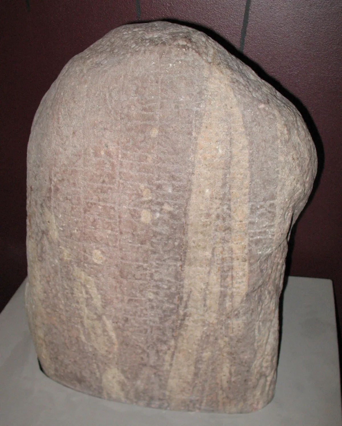
A runestone from Gotland names the same place. The Pilgårds stone, dated to the later tenth century or around 1000 and now in the Gotland Museum in Visby, says that Hegbjǫrn and his brothers raised stones for Hrafn "south of Rofstein". The inscription continues, in the Rundata translation: "They came far and wide in Eifor." Most scholars identify this Aifur with Constantine's Aeifor. The stone remembers a Gotlander who apparently died at the most dangerous point of the journey.
From the Krarion ford to Constantinople
Below the last rapid the convoy crossed the ford of Krarion, usually identified with the later Kichkas crossing near Zaporizhzhia. Constantine says it was "as wide as the Hippodrome" and was where travellers from Cherson crossed the river: "It is at this point, therefore, that the Pechenegs come down and attack the Russians." In AD 972 Prince Sviatoslav was killed by Pechenegs at the rapids on his way home, as our article on Sviatoslav I describes.
Safely past, the Rus' landed on the island of St Gregory, today's Khortytsia, where "a gigantic oak-tree stands". There they sacrificed live cocks, planted arrows around it and left bread and meat, casting lots over whether to kill the birds, eat them or let them live. Four more days brought them to the river mouth and the island of St Aitherios, the Berezan of our article on the Varangians, where they rigged the boats for the sea.
From there they hugged the coast past the Dniester and the Danube delta to Constantia (Constanța), Varna and Mesembria (Nesebar). Pechenegs shadowed them until they passed a branch of the Danube and entered the territory of the First Bulgarian Empire. Constantine ends the chapter with a rare note of sympathy: their voyage was "fraught with such travail and terror, such difficulty and danger". By river, Kyiv lay some 950 km from the mouth of the Dnieper.
Trading in Constantinople
At the end of the road lay the Byzantine capital. The treaties preserved in the Primary Chronicle set the rules. Under the terms dated AD 907, the Rus' lodged in the St Mamas quarter outside the walls, drew a monthly allowance, and entered the city through one gate, unarmed and fifty at a time; they could buy "tax-free". The treaty of AD 944 capped their silk purchases at fifty bezants (gold coins) and forbade them to winter at the mouth of the Dnieper. Our articles on Oleg of Novgorod and Igor of Kiev compare the two treaties clause by clause. Ibn Khurradadhbih's report that Byzantium took a tenth of the Rus' goods gives a sense of what the duty-free clause was worth.
How did Vikings move their boats between rivers?
Between the river basins lay portages (Russian volok), stretches where boats and cargo went overland. Place names such as Volokolamsk, "the portage on the Lama", still mark them. Short portages were manageable. In 1996 the Viking Ship Museum in Roskilde had 27 people pull the two-ton replica Helge Ask over a 300-metre neck of land in Denmark in 15–16 minutes.
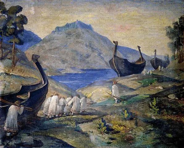
Long hauls were another matter. Painters imagined longships rolled across Russia on logs, and experimental voyages since the 1980s have tested that picture hard. Rune Edberg, who took part in two of them, summed up the results in a 2009 paper:
- Krampmacken (Sweden, 1983 and 1985), an 8-metre boat based on a Gotland find, could not be rowed or towed upstream more than about ten kilometres a day on the Vistula and the Bug. It was finally pulled over the Carpathians on wheels.
- Havørn (Norway, 1992), a two-thirds-size copy of the Gokstad ship, needed three days to get through a 300-metre stretch of rapids on the Daugava, and was later taken by truck over the watershed to the Dnieper. For Edberg, "the popular image of crews rolling ships and boats long distances on logs, also came across as unrealistic".
- Aifur (Sweden, 1994, 1996 and 2001), a 9.5-metre boat, followed the Primary Chronicle's route but found the Lovat, about 540 km long, unnavigable in its middle and upper reaches.
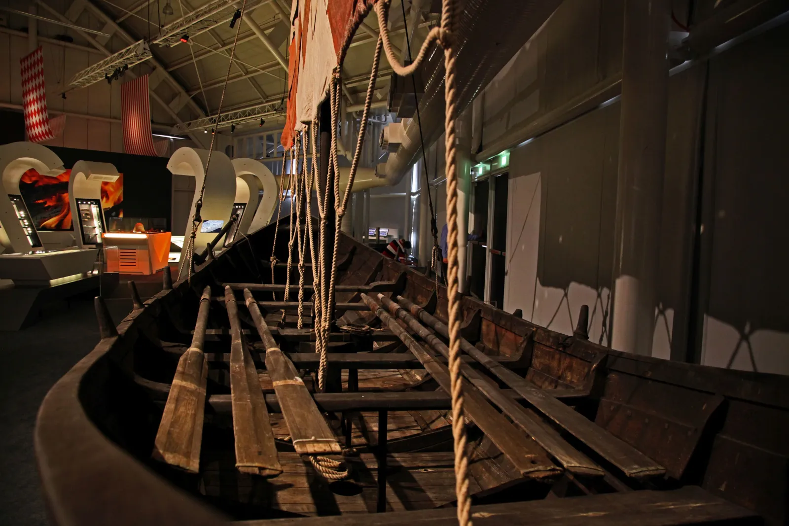
According to the National Museum of Denmark, the Aifur crew needed 42 days from the Mälaren valley to Novgorod and 89 more from Novgorod to the mouth of the Dnieper, dragging the boat overland for over 250 km. A round trip from central Sweden to the Black Sea in one summer was therefore impossible. Anyone travelling beyond Staraya Ladoga had to spend at least one winter in Rus'.
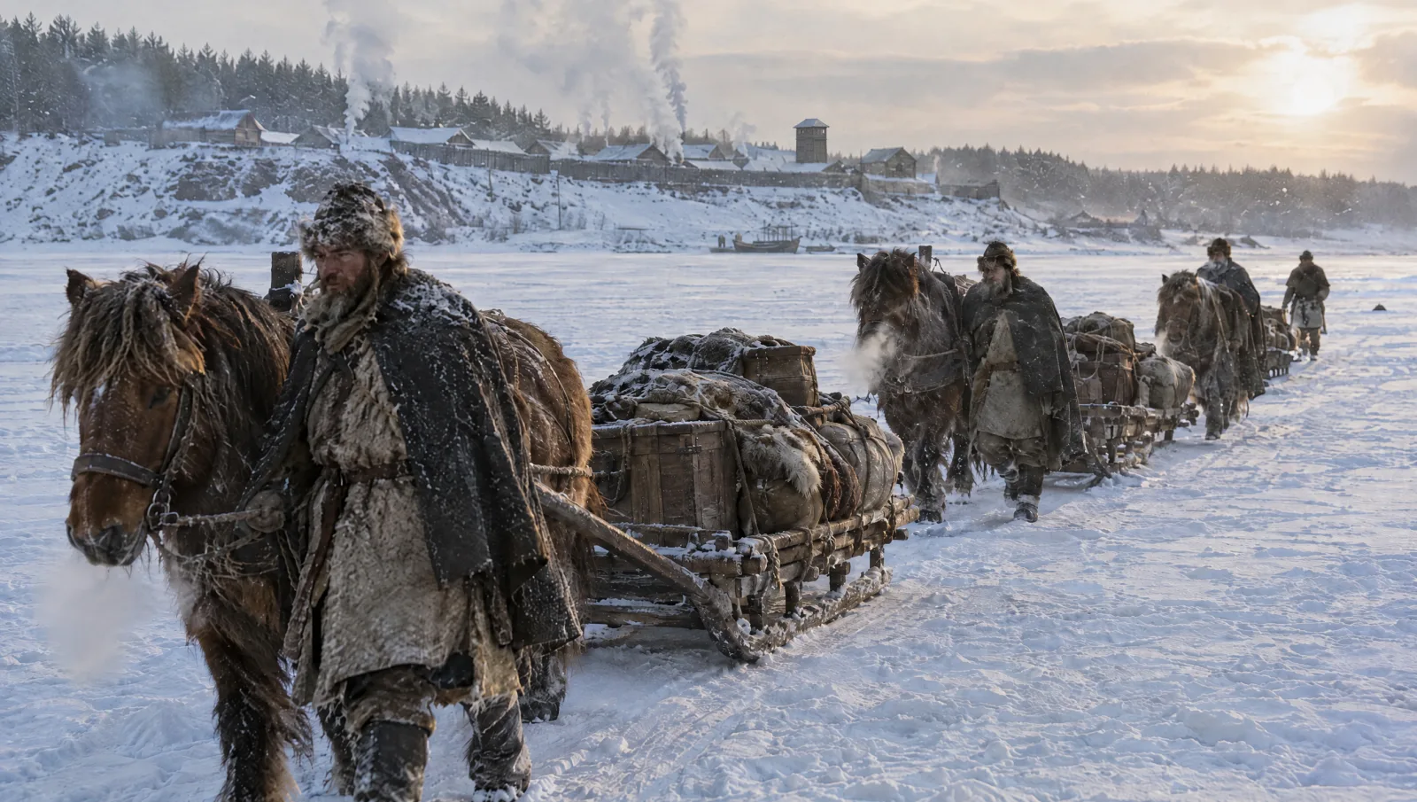
Edberg concludes that Scandinavians did not haul their seagoing ships across Russia. Places such as Staraya Ladoga and Rurikovo Gorodishche were where travellers switched between sea, river and land transport, and on the rivers they most likely used light, flat-bottomed local boats. Winter could be faster than summer. On frozen rivers a horse-drawn sledge could cover up to 150 km a day, so Novgorod to Gnezdovo took 7–10 days instead of about 30 by boat. Sledges from as early as the late eighth century have been found at Staraya Ladoga, together with horseshoes fitted with ice studs.
What did the Vikings trade?
The written sources and the finds agree on the main goods. Traders from the North sold what the forests and their captives provided, and bought silver, cloth and luxuries.
| Goods | Direction | Evidence |
|---|---|---|
| Furs: beaver, black fox, sable, grey squirrel | South | Ibn Khurradadhbih; Ibn Rustah |
| Swords | South | Ibn Khurradadhbih |
| Slaves | South | Ibn Rustah; Constantine VII; Ibn Fadlan |
| Wax and honey | South | The Primary Chronicle under AD 969 |
| Silver dirhams | North | More than 1,500 hoards in northern Europe and Rus' |
| Silk | North | Graves at Birka and elsewhere in Scandinavia |
| Glass beads | North | Ibn Fadlan; finds across the Viking world |
| Wine, fruit, spices, carnelian and rock crystal | North | The Primary Chronicle; National Museum of Denmark |
Captives were central to the trade. The geographer Ibn Rustah, writing around AD 900, says the Rus' raid the Slavs, "take them captive and sell them in Khazaria and in Bulgar", and "treat their slaves well and dress them suitably, because for them they are an article of trade". Jankowiak, who quotes this passage, even links the pause in silver imports around AD 875 to lower demand for slaves at the Abbasid court. The sources give no figures, so the scale of the trade cannot be counted, only inferred from the silver it brought north.
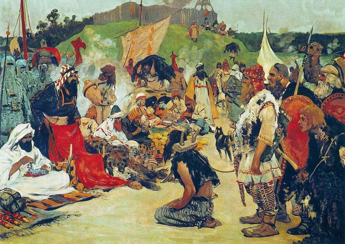
Silk was the prestige import. The Oslo archaeologist Marianne Vedeler argues that most of the silk found in Viking-Age Scandinavia came from Byzantium and Persia "by way of the Russian rivers Dnepr and Volga". Birka, near Stockholm, has more graves with silk than any other Viking-Age site in the Nordic countries.
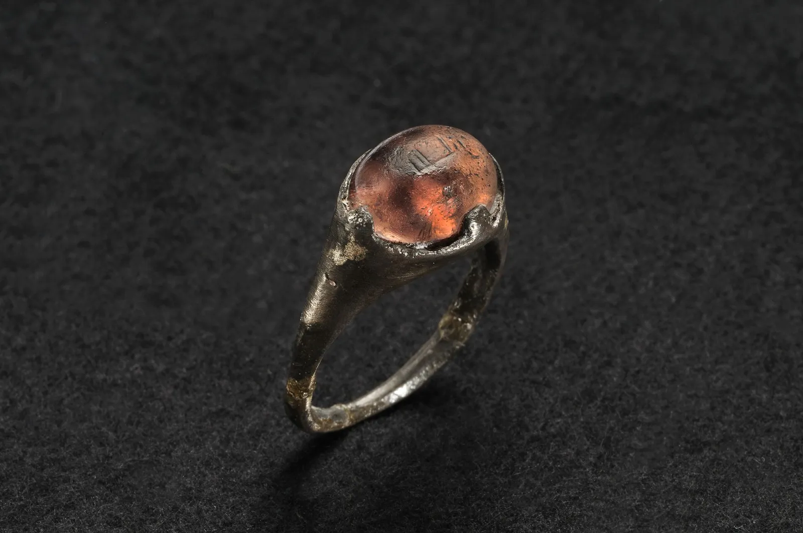
The Islamic world also left smaller traces. A silver ring from a woman's grave at Birka, dated to about AD 850, has a stone once catalogued as amethyst. When Sebastian Wärmländer's team published their analysis in 2015, the stone turned out to be coloured glass engraved with an Arabic inscription, read as "for/to Allah". The filing marks were still visible on the metal, which suggests the ring passed through few hands between an Islamic workshop and the grave.
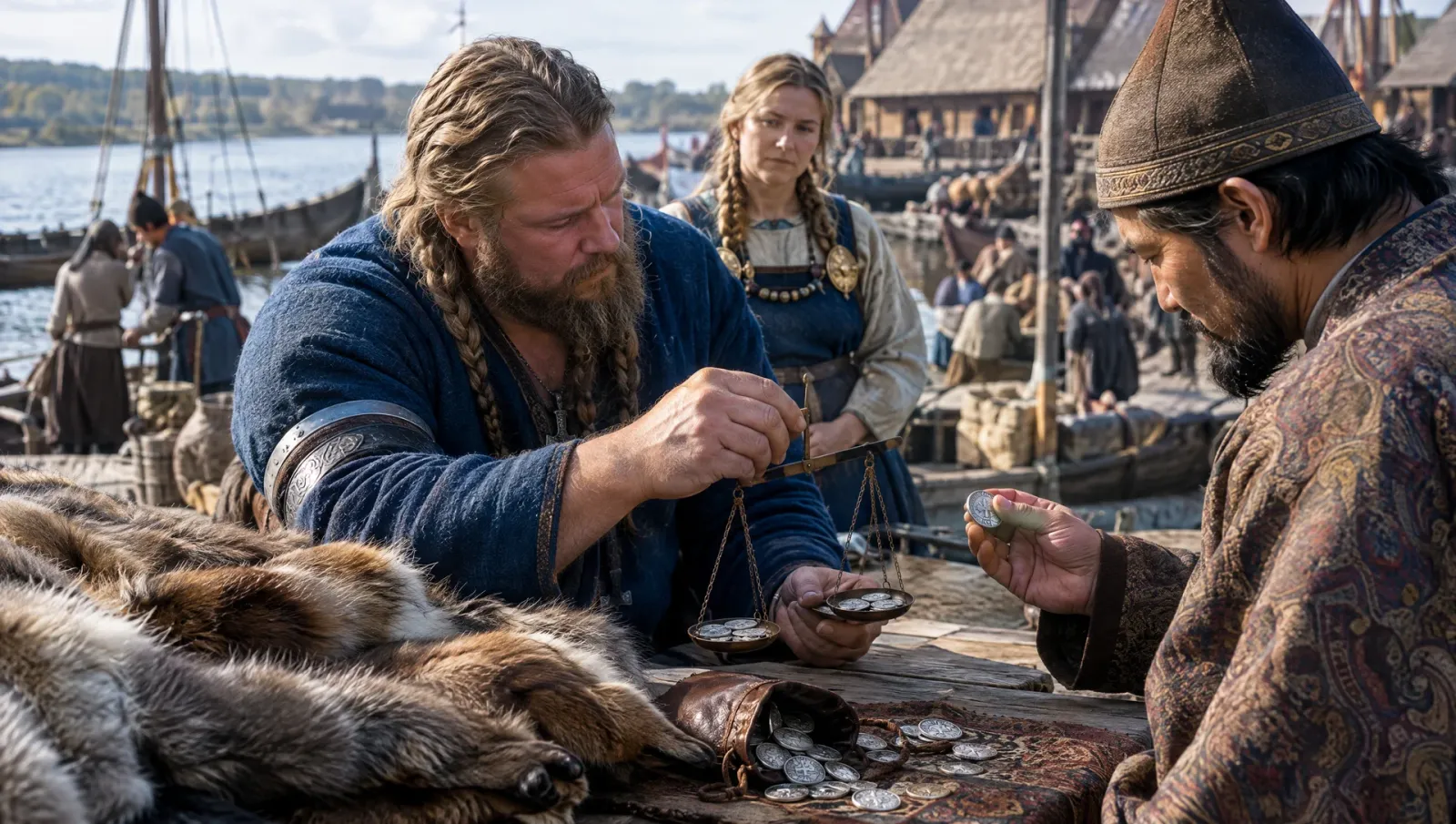
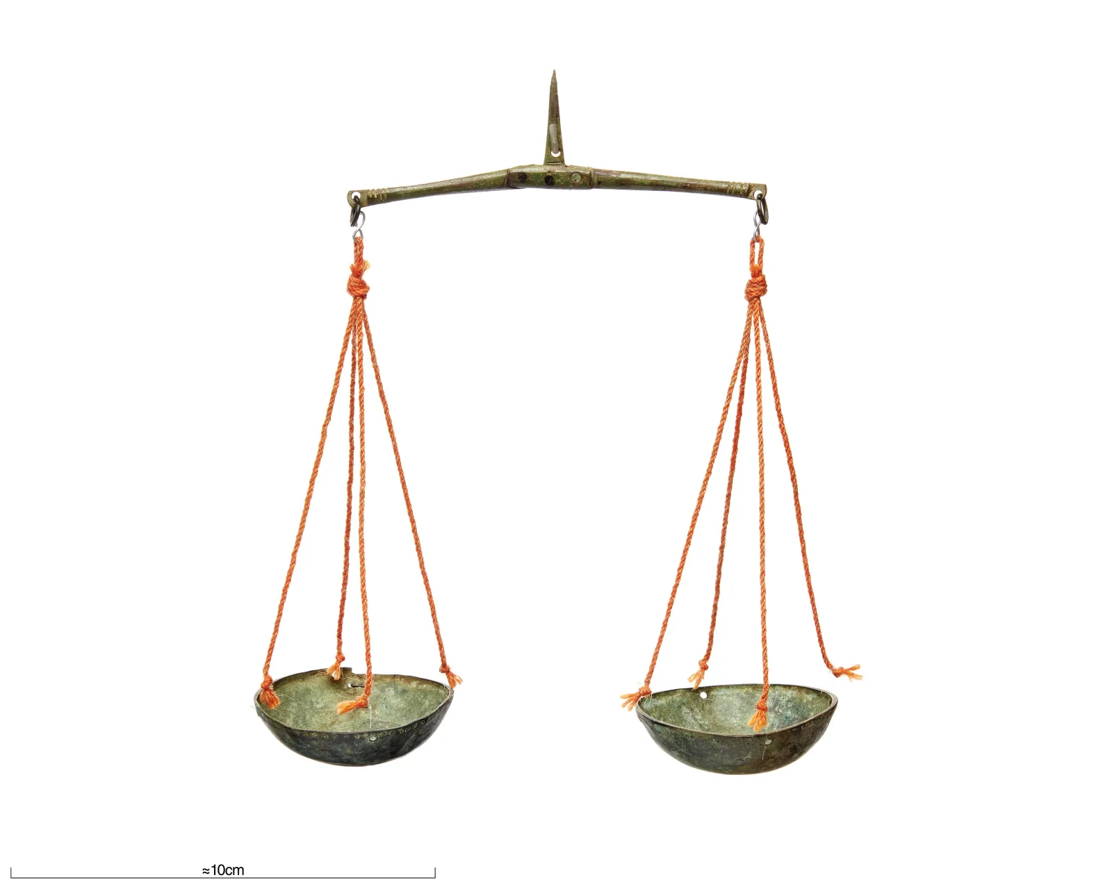
Deals were settled by weight. Merchants carried folding scales, and eight-sided copper-alloy weights belonging to an Islamic system of measurement appeared in Scandinavia in the AD 860s and 870s. Round iron weights in copper-alloy casings, adopted from Islamic forms probably in the 870s, were decorated with Arabic or pseudo-Arabic characters, according to a 2026 study in Internet Archaeology.
When did the silver run out?
The rhythm of the trade can be read in coin hoards. More than 1,500 hoards containing roughly 350,000–400,000 dirhams are known from northern Europe and Rus', and Jankowiak stresses in his survey for the Oxford Handbook of Islamic Archaeology that they are only a fraction of what arrived. The imports came in two waves, c. AD 800–875 and c. AD 900–980. The second was driven by the Samanid emirs of Central Asia, who began mass-producing dirhams at Samarqand and al-Shash (Tashkent) in AD 893. The exchange peaked between AD 920 and 950.
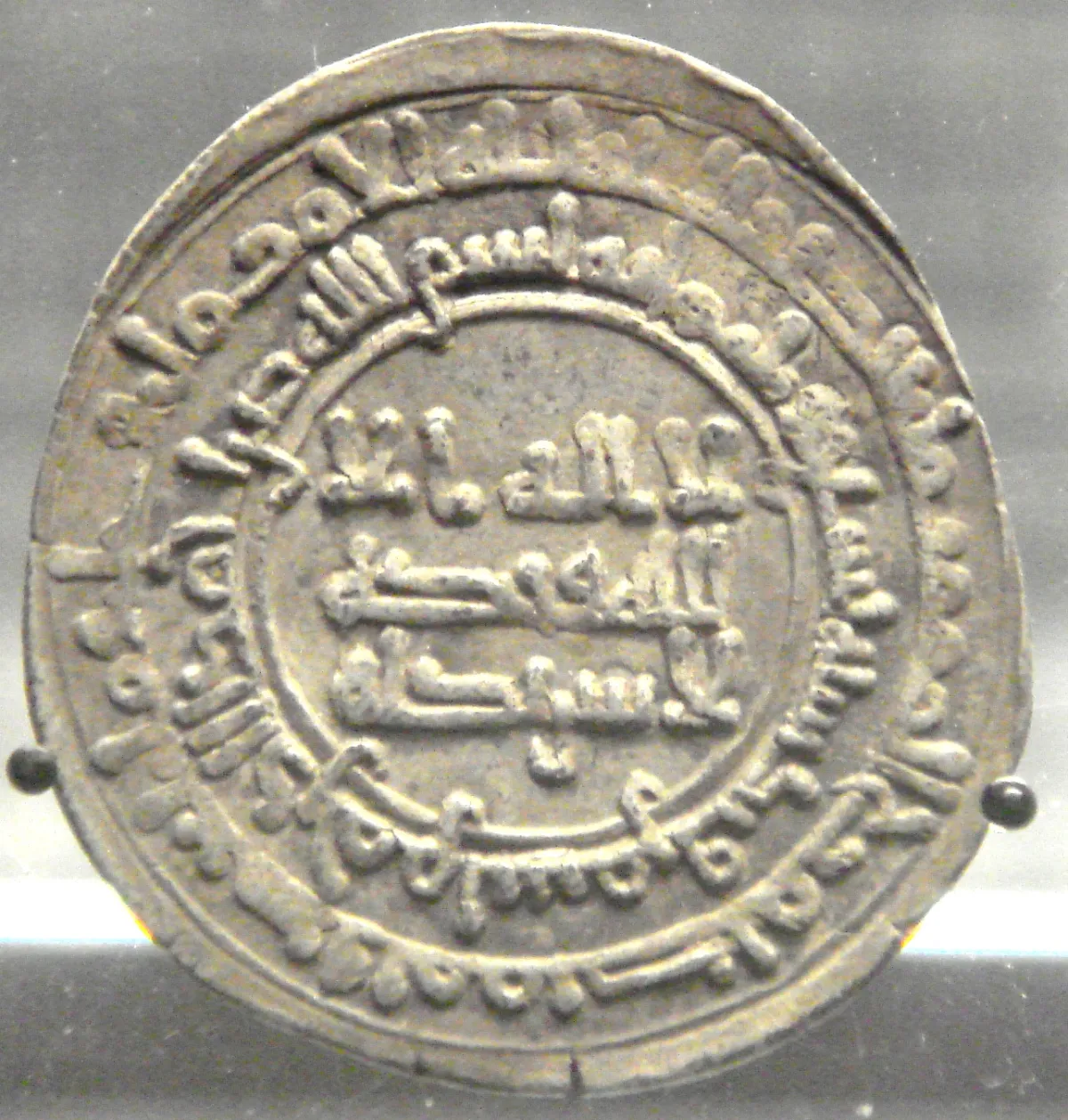
Then it faded. Dirhams stopped reaching Sweden around AD 955, though Rus' and Poland received them for another quarter of a century. The latest coins date from 1013, after which the flow of dirhams stopped altogether. Jankowiak blames a "silver crisis" in Central Asia and the break-up of the Samanid emirate around 1000. Politics played a part too: Sviatoslav broke the Khazar Khaganate in the 960s, and the Pechenegs made the steppe stretches of both routes more dangerous. According to the National Museum of Denmark, Scandinavians now found their silver in Central Europe, above all in the mines of the Harz mountains.
What the map shows next
On the map at AD 950 on the map, both roads run through a crowded world: the Khazars on the lower Volga, the Bulgars on the middle Volga, the Pechenegs on the steppe and Byzantium on the Black Sea. By 1054 on the map, when Yaroslav the Wise died, the old Varangian road had become the backbone of Kievan Rus', a Christian, Slavic-speaking state, and Khazaria had vanished from the map. By 1240 on the map the Mongols had taken Kyiv, and the Novgorod Republic kept the northern trade alive through its links with the Baltic.
Sources
Primary sources (in translation)
- Constantine Porphyrogenitus, De Administrando Imperio, Greek text ed. Gy. Moravcsik, English trans. R. J. H. Jenkins, Dumbarton Oaks Texts 1 (rev. ed., Washington DC, 1967), ch. 9, pp. 57–63. Publisher page: https://www.hup.harvard.edu/books/9780884023432
- Constantine Porphyrogenitus, De Administrando Imperio, vol. II: Commentary, ed. R. J. H. Jenkins (London: Athlone Press, 1962); commentary on ch. 9 by D. Obolensky, pp. 23–61 (rapids pp. 41–57).
- Paul Lunde and Caroline Stone (trans.), Ibn Fadlan and the Land of Darkness: Arab Travellers in the Far North (Penguin Classics, 2012): Ibn Khurradadhbih on the routes of the Rus'; Ibn Rustah on the Rus'.
- Samuel Hazzard Cross and Olgerd P. Sherbowitz-Wetzor (trans.), The Russian Primary Chronicle: Laurentian Text (Mediaeval Academy of America, 1953), pp. 65, 75–76, 86. PDF: https://www.mgh-bibliothek.de/dokumente/a/a011458.pdf
- Runor database (Uppsala University), inscription G 280, Pilgårds, Boge parish, Gotland: http://kulturarvsdata.se/uu/srdb/f760efb3-843b-4667-8207-ca28270a4e19
Studies and reference works
- Rune Edberg, "Experimental 'Viking voyages' on Eastern European rivers 1983–2006", Situne Dei 2009, pp. 35–46: https://arkiv.sigtunamuseum.se/wp-content/uploads/2015/03/SD2009RE.pdf
- National Museum of Denmark, "Dangerous journeys to Eastern Europe and Russia": https://en.natmus.dk/historical-knowledge/denmark/prehistoric-period-until-1050-ad/the-viking-age/expeditions-and-raids/dangerous-journeys-to-eastern-europe-and-russia
- Viking Ship Museum, Roskilde, "Ships over land": https://www.vikingeskibsmuseet.dk/en/professions/education/the-longships/ships-over-land
- Marek Jankowiak, "Contacts Between the Islamic World and Northern Europe in the Pre-Mongol Period", in B. J. Walker, T. Insoll and C. Fenwick (eds), The Oxford Handbook of Islamic Archaeology (Oxford University Press, 2020), DOI 10.1093/oxfordhb/9780199987870.013.14. Open access: https://ora.ox.ac.uk/objects/uuid:169b13f3-9fa7-4a70-900a-60462e44d40e/files/s7h149q279
- Internet Encyclopedia of Ukraine, "Dnipro Rapids": https://www.encyclopediaofukraine.com/display.asp?linkpath=pages%5CD%5CN%5CDniproRapids.htm
- Dawn Hadley, Julian D. Richards, Mark Randerson and Rebekah Hiett, "Inset Lead Weights: Trade and Identity in 9th- and 10th-century Viking armies in Britain and Ireland", Internet Archaeology 71 (2026): https://doi.org/10.11141/ia.71.14
- Yngve Vogt, "Norwegian Vikings purchased silk from Persia", Apollon (University of Oslo), 4 November 2013, on Marianne Vedeler's research: https://www.uio.no/english/research/research-news/apollon/articles/2013/vikings.html ; Marianne Vedeler, Silk for the Vikings (Oxbow, 2014).
- Sebastian K. T. S. Wärmländer et al., "Analysis and interpretation of a unique Arabic finger ring from the Viking Age town of Birka, Sweden", Scanning 37 (2015), DOI 10.1002/sca.21189; reported by Live Science: https://www.livescience.com/50161-for-allah-inscription-found-on-viking-era-ring.html
- Swedish History Museum, collections database, balance scale 106858_HST: https://samlingar.shm.se/object/39EF1BA4-A187-447A-9C12-F8A47495A5E8
Cross (no. 4) is probably already on /sources. Check the others before adding them.
Image credits
- Title image (a Rus' convoy gathering on the Dnieper, around AD 950): AI-generated illustration.
- Map of the Volga and Dnieper routes. Map: Briangotts, CC BY-SA 3.0, via Wikimedia Commons.
- One of the Dnieper rapids, postcard of about 1920. Unknown photographer (Dnipro Museum of the History of Pilots and Pilotage). Public domain, via Wikimedia Commons.
- The Pilgårds runestone (G 280), Gotland Museum, Visby. Photo: Berig, CC BY-SA 3.0, via Wikimedia Commons.
- Nicholas Roerich, Through a Portage (1915), Nicholas Roerich Museum, New York. Public domain, via Wikimedia Commons.
- Krampmacken replica, Sydney, 2013. Photo: JC Merriman, CC BY 2.0, via Wikimedia Commons.
- A winter sledge convoy on the frozen Volkhov: AI-generated illustration.
- Sergei Ivanov, Trade in the Land of the Eastern Slavs (1909), Sevastopol Art Museum. Public domain, via Wikimedia Commons.
- Silver ring with a Kufic inscription from Birka, Swedish History Museum. Photo: Gabriel Hildebrand, Swedish History Museum, CC BY 2.5, via Wikimedia Commons.
- Viking-Age bronze balance from Gotland, Swedish History Museum (106858_HST). Photo: Ola Myrin, Swedish History Museum, CC BY 4.0, via Wikimedia Commons.
- Silver dirham of Nasr II, Samarqand, AD 921–922, British Museum. Photo: PHGCOM, public domain, via Wikimedia Commons.